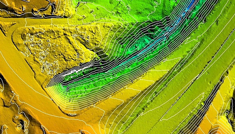
SAM (formerly as HALIS) teamed with prime consultant GRW on the successful completion of aerial photography and LiDAR services to support hydrologic modeling of the Upper St. Johns River Basin (USJR). The project, which encompassed approximately 456 square miles, required elevation data covering portions of Brevard, Indian River, Okeechobee, and Osceola Counties in Florida.
LiDAR acquisition was completed to achieve a bare earth surface capable of supporting 2′ contour accuracy throughout the project area. To achieve the desired accuracy in unique terrain conditions, including swamps and heavily vegetated areas, the team collected LiDAR with a point density of 8 points per meter. The team also collected aerial photography with better than 3″ resolution, utilizing ABGPS and IMU technology. To support the LiDAR calibration and aerotriangulation, 24 horizontal/vertical control targets were set at the corners of the photogrammetric block.
Following acquisition, the team produced a bare earth LiDAR model through a series of classification routines, including macro and manual edits. In areas of dense, low-lying vegetation such as swamps, the team worked with the Jacksonville District to develop a grid-analysis approach wherein the lowest elevation within a given grid cell was considered ground, and all surrounding LiDAR points were compared to this elevation to determine validity as a “ground” return. Once the LiDAR classification was completed, stereo compilation was utilized to validate the ground surface. Breaklines were added where needed, and LiDAR-derived masspoints were edited. The final result of the stereo QC process is a DTM surface meeting the accuracy requirements necessary for 2′ contour generation.
Deliverables for this project include aerial imagery, LiDAR mass point data delivered in ASPRS LAS format, survey data, ESRI GeoDatabase Point Feature Class, and related metadata and reports.


