
SAM Technology Symposium & Hospitality Event
A Discussion on Managed Geospatial Services ™
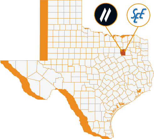
25 June, 2024 | 5:00 PM - 8:00 PM Hilton Anatole 2201 N Stemmons Fwy, Dallas, TX 75207 The Metropolitan Room
let slug = location.pathname.split('/').slice(1); let trgt_btn = document.querySelector(".hov-orn") let base_url = document.querySelector(".hov-orn").getAttribute("href"); console.log(base_url) console.log(slug[0]) trgt_btn.setAttribute("href", `https://info.sam.biz/dallas-symposium?utm_source=${slug.join('-')}&utm_medium=SAM_web`)
“Our understanding and experience on a variety of programs—from traditional to design-build-to P3 programs—enables us to tailor our solutions to deliver the insight to ensure the highest quality of supporting services from planning to engineering inspection.”
Gregory S. Cleveland PE, CCMSenior Vice President & Central Region Director, Senior Associate 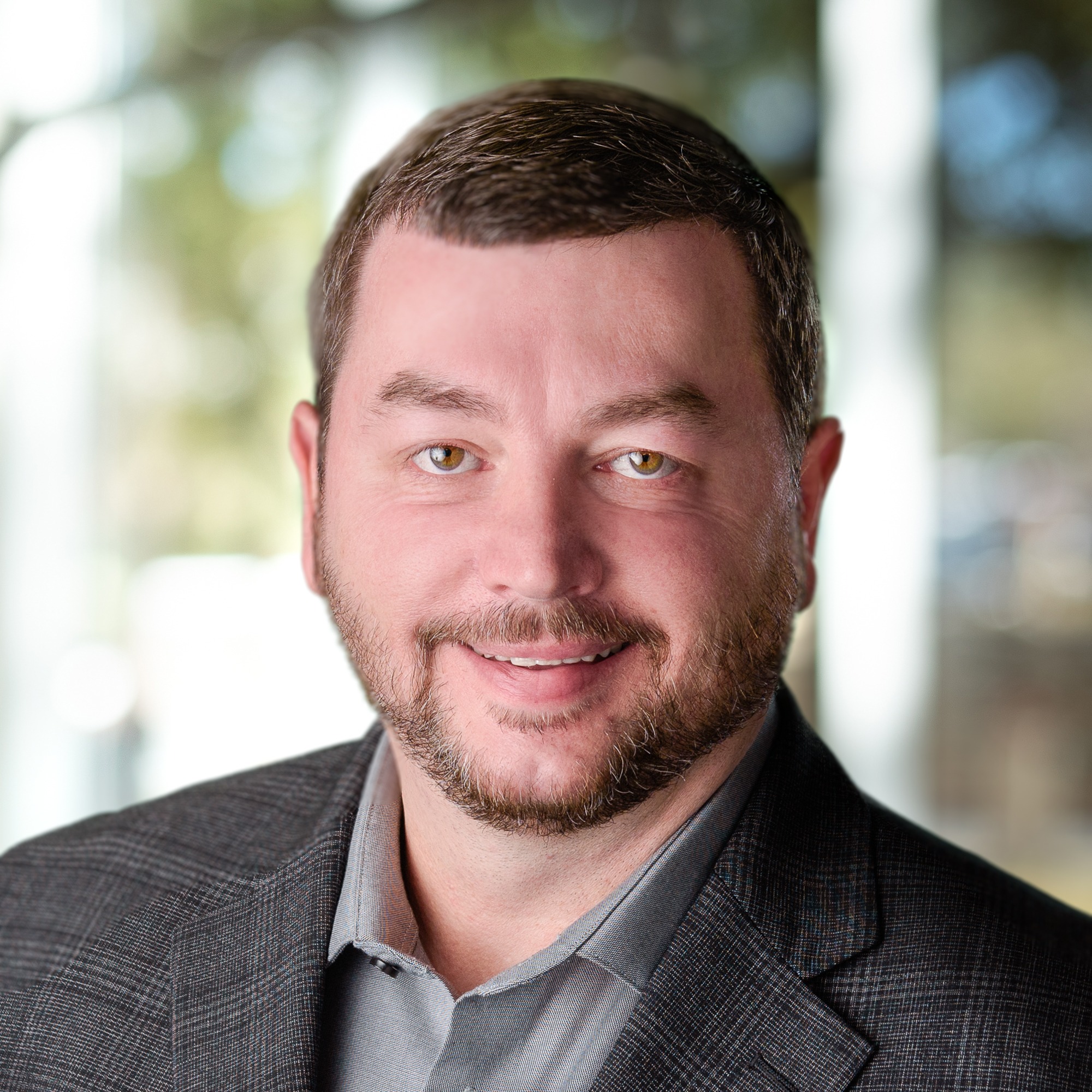
“ We are LiDAR, image, and geodatabase experts. Having a suite of Managed Geospatial Services™ empowers our team to focus on client solutions, new innovative technology, and collaboration to provide the best services to our clients.”
Matt Thomas, LS, RPLSSenior Data Scientist 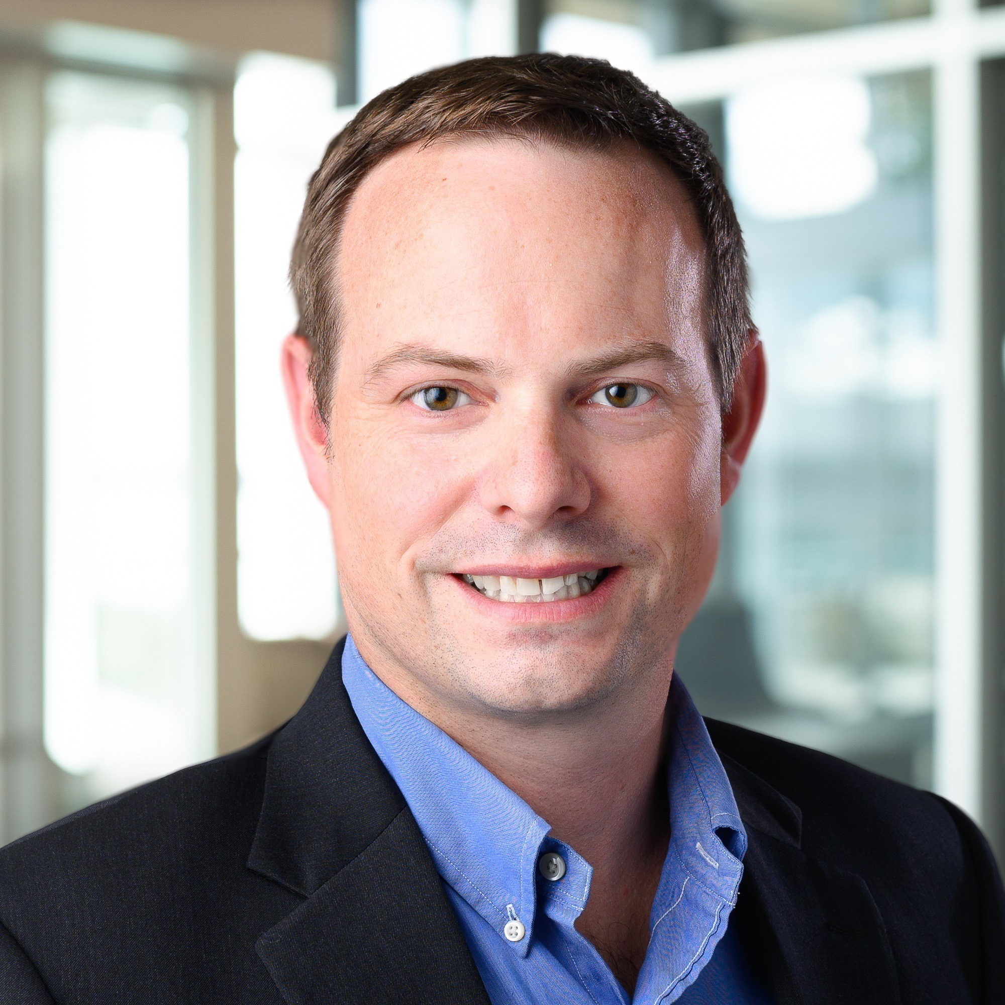
“Future programs require future technologies. SAM offers some of the most advanced technology, and pioneering techniques including AI & ML models to support your ground-breaking programs with high-fidelity geospatial data.”
Carlos Montoya Ph.D.Senior Geospatial Manager 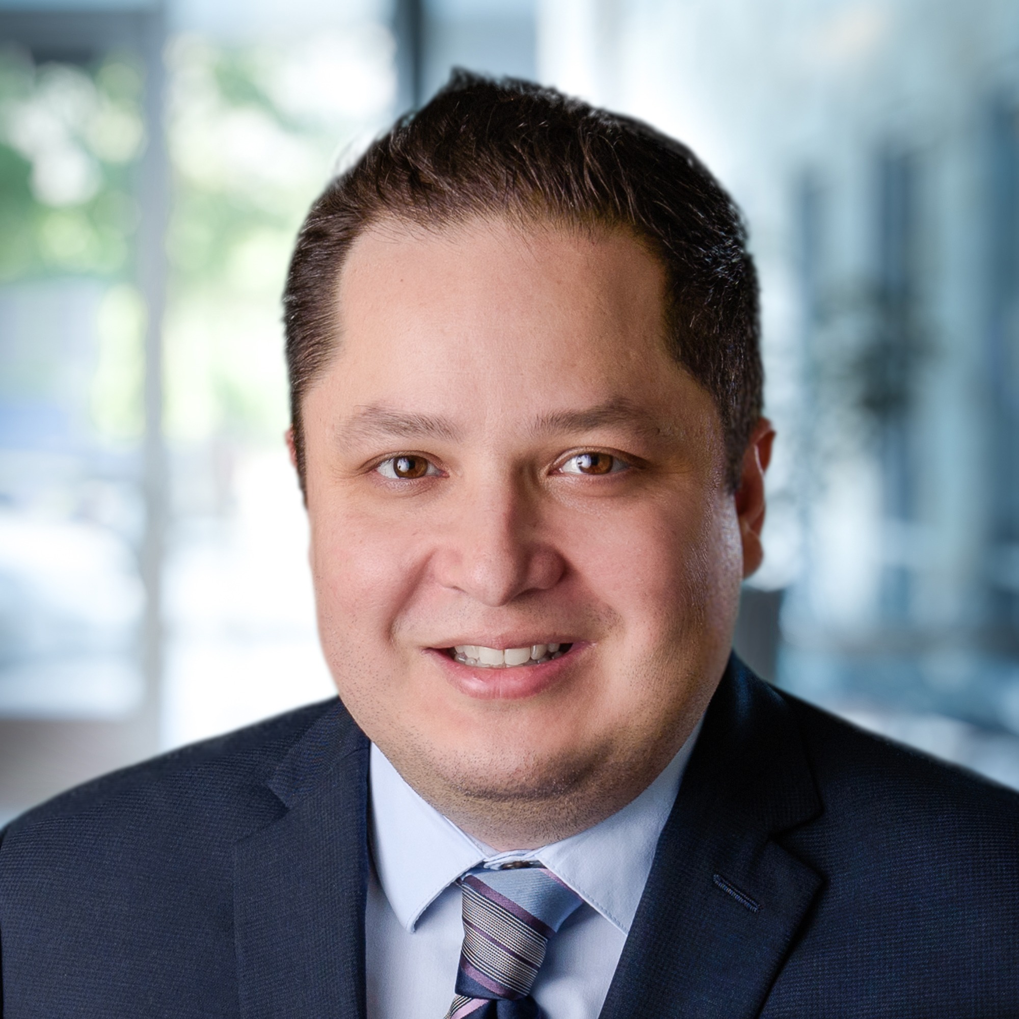
“At SAM, we’re constantly asking ourselves: ‘How can we provide higher quality geospatial data for our clients? How can we make the earliest phases of their programs more efficient?’ Our Applied Technology team allows us to explore the answers to those questions.”
Adam Long PE, PSChief Technology Officer, Associate 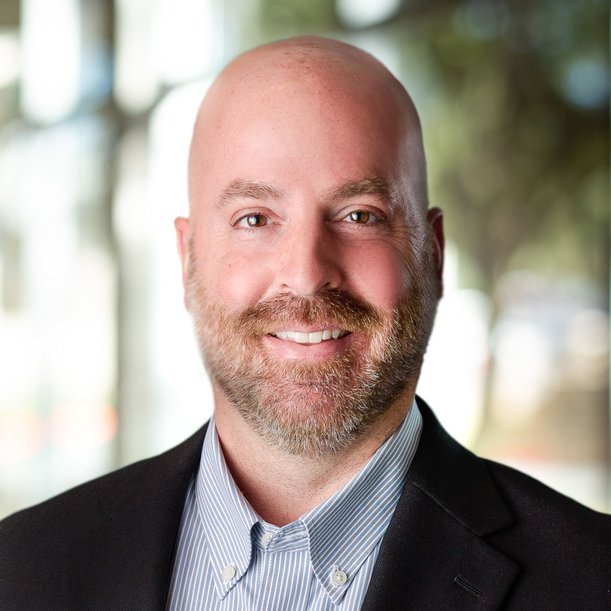
“Our understanding and experience on a variety of programs—from traditional to design-build to P3 programs—enables us to tailor our solutions to deliver the insight to ensure the highest quality of supporting services from planning to engineering inspection.”
Gregory S. Cleveland PE, CCMSenior Vice President & Central Region Director, Senior Associate
“ We are LiDAR, image, and geodatabase experts. Having a suite of Managed Geospatial Services™ empowers our team to focus on client solutions, new innovative technology, and collaboration to provide the best services to our clients.”
Matt Thomas, LS, RPLSSenior Data Scientist
“Future programs require future technologies. SAM offers some of the most advanced technology, and pioneering techniques including AI & ML models to support your ground-breaking programs with high-fidelity geospatial data.”
Carlos Montoya Ph.D.Senior Geospatial Manager
“At SAM, we’re constantly asking ourselves: ‘How can we provide higher quality geospatial data for our clients? How can we make the earliest phases of their programs more efficient?’ Our Applied Technology team allows us to explore the answers to those questions.”
Adam Long PE, PSChief Technology Officer, Associate