Land Surveying

SAM Technology Symposium & Hospitality Event
A Discussion on Managed Geospatial Services ™
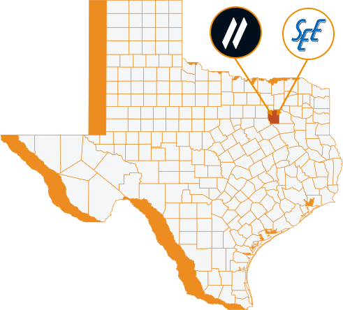
25 June, 2024 | 5:00 PM - 8:00 PM Hilton Anatole 2201 N Stemmons Fwy, Dallas, TX 75207 The Metropolitan Room
Professional Land Surveying Solutions
Before you plan your next infrastructure investment, you need to consult with a firm that can travel the journey with you. Success depends on the collection of geospatial data that will support informed decisions. Poor spatial data fidelity can jeopardize the success of your program. Obtain rich, accurate, comprehensive, and managed geospatial data using the most advanced sensors, instruments, and techniques that positively impact the quality of the planning, design, and build process. Our professional services are backed by trusted, knowledgeable, and innovative Geomatics experts who are familiar with that journey.
geomatics (noun)
The branch of science that deals with the collection, analysis, and interpretation of data relating to the earth’s surface.
Land Surveying Solutions
Boundary
Boundary
ALTA
ALTA
Right-of-Way
Right-of-Way
Easement
Easement
Site Layout & Staking
Site Layout and Staking
Terrestrial Scanning
Terrestrial Scanning
Mobile LiDAR
Mobile LiDAR
Hydrographic Services
Hydrographic Services
Who we serve
Electric
Renewables
Transportation
Telecom-Fiber
Natural Gas
Government
Commercial
Industrial
Natural Resources
Why Sam?
SAM has built a reputation as a trusted, knowledgeable, and innovative partner.
SAM transforms petabytes of complex spatial data into intelligent insights in a holistic Managed Geospatial Services™ (MGS™) framework. MGS™ is the digital ecosystem that simplifies the complicated so our clients can achieve the impactful outcomes that drive their business forward.
As North America’s premiere MGS™ company, SAM provides practical, precise, and high-fidelity solutions designed to enhance decision-making, mitigate risks, achieve strategic objectives, and drive costs out of our client’s business. Our vision is to advance spatial data acquisition, improve analysis capabilities, and develop predictive analytics to redefine and transform how infrastructure assets are developed and managed throughout their lifecycles.
Our People
SAM’s leadership possess a deep knowledge of the entire suite of Managed Geospatial Services™ offerings.
LEARN MORE ABOUT MANAGED GEOSPATIAL SERVICES™
Expedite your discovery phase with comprehensive geospatial data to make informed business decisions and accelerate your planned infrastructure development. Explore how our Managed Geospatial Services™ can address the full lifecycle for your assets


