
Working with a local survey firm serving as prime consultant, SAM (formerly as HALIS) was contracted to acquire LiDAR and imagery data to support 1′ contour mapping and 1″= 50′ planimetrics for the Saturn Parkway project in Maury County, Tennessee. The project was designed to meet Tennessee Department of Transportation (TnDOT) accuracies, with a vertical accuracy of better than 0.1′ on paved surfaces.
The prime consultant surveyed high accuracy vertical control through digital leveling. Digital leveling was utilized to provide a vertical accuracy higher than the final LiDAR accuracy requirement, and consisted of 10 points spread throughout the project. Leveled points were either paneled or selected as physical features to allow for inclusion of the imagery aerotriangulation solution.
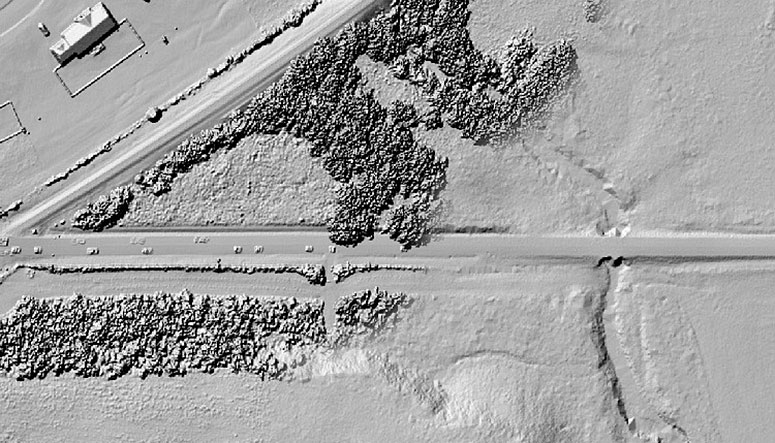
Aerial data acquisition for the project was completed during leaf-on conditions (late May) as part of the overall survey project. Due to heavy vegetation over a significant portion of the project, the project was flown to produce a total of 40 points per square meter, with data acquired in opposing flightlines to increase the likelihood of penetrating canopy. Once acquired, SAM supplied an expedited bare earth surface to be utilized in the determination of additional field survey efforts. The bare earth surface was delivered three days after data acquisition.
In addition to the expedited bare ground surface, final deliverables included classified bare earth LiDAR point clouds (LAS format), trajectories, color imagery, and aerotriangulation solution.


