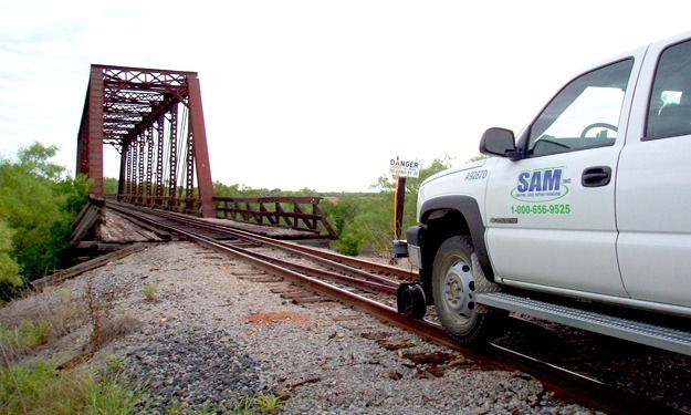
SAM established control and provided aerial mapping services on approximately 392 miles of existing railroad. The project began in San Angelo Junction in Coleman County, Texas and extended southwesterly to the U.S. and Mexico border in Presidio, Texas.
SAM provided aerial photography at a scale of 1″ = 500′, flown at 3,000′ AMT using Airborne GPS to augment the ground control. A 3,000 foot wide color digital orthophoto at a pixel resolution of ½’ centered along the project corridor was generated. Planimetric features were collected and a 2′ DTM was created centered along the 500′ wide project corridor. There were approximately 232 aerial control panels set and fast-static GPS observations were performed to establish the horizontal and vertical values of each.
The railroad record right-of-way lines and centerline were overlaid on the digital orthophotography utilizing the location of the rails as shown in the photography as a basis for the overlay.
Deliverables for the project included:
- 2004 NAIP DOQ Image Mosaic
- Data Sheets for Primary & Secondary Control Points
- Project Control Survey Report
- Contact Prints
- Aerial Triangulation Report
- MicroStation V8 design files in US feet of planimetric (2-D data) and DTM (3-D data). Mapping will include all visible planimetrics for 1″ = 100′ scale mapping. Digital terrain model (DTM) breakline and mass point data.
- Color Digital Orthophoto Images in TIFF and SID image format with an associated geo-reference file, with a pixel size of ½-foot
- Railroad Centerline & Right-of-Way Lines Geo-referenced to Low Level Flights in MicroStation Format
SAM staff attended the Burlington Northern Santa Fe (BNSF) Railway Maintenance of Way training. This training certified our staff to conduct work on the tracks and to operate hi-rail vehicles. They also completed an on-the-ground certification training program with the General Manager of Texas Pacifico Railroad prior to accessing the railroad.


