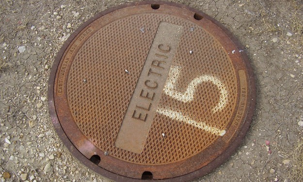
SAM was responsible for GPS data collection of six (6) utility systems at Laughlin AFB in Del Rio, TX and Sheppard AFB in Wichita Falls, TX. GPS data collection required the establishment of positions to sub-meter accuracy and collection of appropriate descriptive information for six utility systems to include features and attributes.
SAM used a Trimble Mapping Grade (Sub-Meter) Receiver, consisting of a Trimble Pro XRS mapping grade receiver and a Trimble TSCE data collector running TerraSync, with OmniStar subscription for Real Time Differential (RTD) Correction loaded with a data dictionary file developed in accordance with SDSFIE standards. Digital photos of each utility feature were captured. Date/time stamps, filename, and quality of photos were confirmed at part of the QC process. GPS crews used Leica Disto Laser measuring devices to measure utility pole heights and inverts for manholes. SAM field personnel downloaded and delivered, via FTP, data files to our Austin office on a daily basis for QA\QC of data. Final data was delivered on a daily basis in Trimble *.SSF data file format containing the position and raw feature data as collected in the data dictionary for each feature and in post-processed format in an excel spreadsheets and personal geo-database formats.


