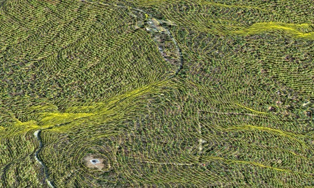
SAM collected true color digital orthophotography at 3-inch pixel resolution, 1”=50’ map scale, for Dickey Ridge, Dundo, Mathews Arm, North Entrance, Park Headquarters, Pinnacles, Rapidan, Rockfish Gap, Simmons Gap, Skyland, South River, Swift Run Gap, and Thornton Gap area of Shenandoah National Park. Files were delivered in geotiff and tfw formats. LiDAR was collected to produce bare earth in ASCII format, bare earth in ArcGIS grid format, and 2’ contours. Data collection took place during leaf off conditions with no snow, and as close to mid-day to avoid shadows. All deliveries were made to the park within 45 days of collection.


