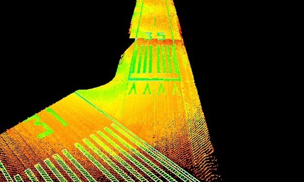
The project control was based upon existing Airport/NGS control stations and runway end points. Primary and secondary control were established using both GPS and conventional land surveying techniques. A topographic survey of the runway was produced using HDS laser scanning. SAM worked closely with the airport manager, TxDOT Aviation Division, and the engineers.


