
SAM collected color aerial photography and produced planimetric and topographic maps, along with digital orthophotos of Range 52 (approximately 3 square miles) located on Ft. Bliss, NM in support of range design and construction. Final products included planimetric mapping at 1” = 50’ scale, 1’ contours and color digital orthophotos (0.25’ ground pixel resolution). All final products were in Arc/Info 8.2 format and were produced to meet both SDS-FIE GIS and A/E/C Standards. NAD 83 was selected as the Horizontal Datum. NAVD 88 was used as the Vertical Datum. Project coordinates were developed in New Mexico State Plane Coordinates – Grid and were in U.S. Survey Feet.
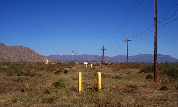
Ground surveying efforts included location of various visible utilities and establishing primary and secondary project control. Of note, the survey work was conducted in the main impact area at Ft. Bliss which is littered with UXO. SAM worked hand in hand with UXO personnel and Ft. Bliss Range Control Officers. We developed a Safety Plan and held daily safety briefings with UXO personnel and Range Control. The project was completed without incident.
SAM also provided Quality Level B (SUE) services. SAM used electromagnetic, sonic and acoustical geophysical prospecting equipment to designate existing water and telecommunications systems. Paint strips were made on the ground to indicate the horizontal location of the utilities and were done in accordance with American Public Works Association (APWA) utility color code requirements. Paint marks were surveyed by SAM. SUE crews. SAM collected utility maps from Ft. Bliss DPW for use in production of final deliverables.


