
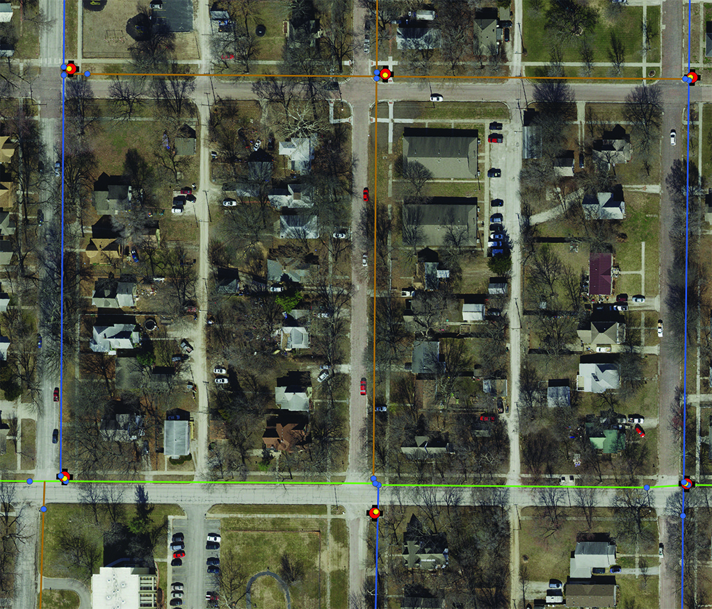
This project objective was to overhaul the City’s in-house GIS program by creating a new, clean geodatabase and collect accurate GPS locations and attribute information on utility features to be integrated and mapped.
When the City of Ottawa, Kansas realized a need to revamp their utility GIS program, they selected SAM (formerly Midland GIS Solutions) to begin GPS locating and mapping their water system, along with meters, and also to implement and host an Integrity GIS website. Our team developed a foundational geodatabase that would be able to house the City’s various utility networks on a centralized server allowing for future maintenance of the GIS data as well as asset management activities.
From 2013 through 2015, we completed the water network, and were then contracted to locate and map the sanitary and storm sewer systems, and then the primary and secondary electric networks. Our firm utilized survey grade (RTK) GPS technology (+/- 2 cm) to locate the water, storm sewer and sanitary sewer networks. Mapping grade techniques (+/-4 inch) were used in the GIS survey of the electric network. Today, the city manages all of their GIS information on the Integrity GIS website with mobile capabilities where they can easily view, analyze, edit, maintain and manage their GIS data.


