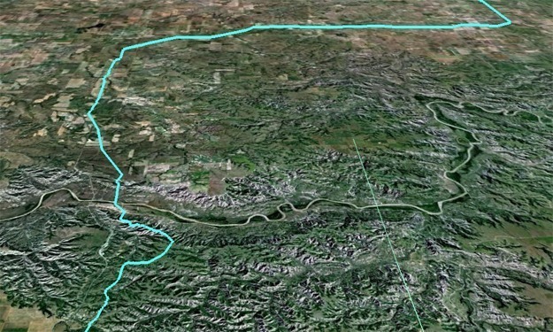
Due to the need for precise knowledge of the topography, SAM acquired helicopter based LiDAR at approximately 40 points per square meter for a 500-foot wide by 135 mile long corridor (vertical elevations at 10cm RMSEz) to support the construction of a crude petroleum pipeline. Simultaneously, RGB imagery was collected at a 2-inch pixel resolution for the entire route. Deliverables included a digital terrain model with 1-foot contours, and 2-inch pixel orthophotography.


