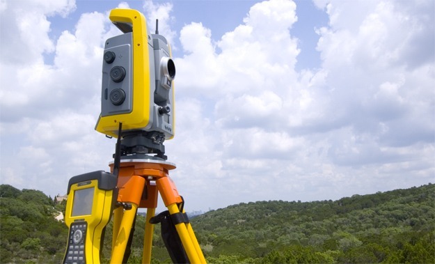
SAM provided aerial mapping and supplemental design surveys for this 270 acre project. The primary control for this project was established in Texas State Plane Coordinate System NAD83(93) HARN coordinates Texas South Central Zone (4204) and adjusted to surface values. Elevations were based on NAVD 88 Vertical Datum using Global Positioning Systems (GPS). Secondary control was established using fast-static GPS sessions for aerial panels to control the aerial photography and on-the-ground surveying tasks. Aerial mapping at 1” = 50’ with a contour interval of 1-foot was provided. These mapping files were augmented by on-the-ground detailed surveys of the landing pad, taxiways, mooring pads, aprons, maintenance building access areas, proposed dry storage area, apron storm drainage channel, retention pond and storm sewer system. A bathymetric survey was completed for the 1-acre± retention pond. All visible improvements were located within these areas. SAM utilized a combination of real-time GPS and conventional land surveying techniques to perform this work.
-
ABOUT
About
We deliver fast, accurate data to give our clients the insight they need to move their programs forward with confidence. -
SERVICES
Services
Our vast scope of services plays a vital role in providing the foundational data, input, insight, and oversight needed for programs success.
-
MARKETS
Markets
We work on programs of all sizes, from local route surveying to complex, multibillion-dollar infrastructure improvement programs for a range of industries.
-
CAREERS
We’re looking for talented individuals to join our team. At SAM, we are committed to driving technological change while promoting and supporting a culture of inclusion.
-
ABOUT
-
SERVICESMapping & Data CollectionInspection
-
MARKETS
-
CAREERS


