
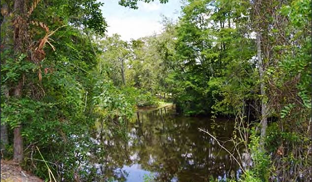
The Luce Bayou Interbasin Transfer Project (LBITP) provides additional surface water supplies to end users that use water from Lake Houston. SAM’s provided survey control, a primary control system to be used by others, and established survey secondary control for the design segment. Surveyors recovered and flaged the canal ROW monumentation, and locate existing topographic features and improvements within the Canal ROW within 100 feet. SAM also located significant changes in existing features such as section, alignment, and grade breaks and defined the limits of major categories of vegetative cover (i.e., areas of brush and woods).
SAM also performed cross-sections at 200 feet on-center and extended the cross-sections 100 feet beyond the canal ROW on flat and featureless terrain. Surveyors provided a minimum of 5 points on the cross-section, with points located near the canal centerline, both canal ROW lines, and 100 feet beyond each canal ROW. All topographic features and improvements in the drainage system and within 50 feet of the top of banks, or within the drainage channel ROW (whichever is the greater distance) were located. All topographic features and improvements in the roadway ROW and within 50 feet of the roadway ROW were located. Adjacent / parallel facilities and infrastructure (i.e., ditches and roads) and transmission towers were also located.
The project was implemented by the Coastal Water Authority (CWA) as authorized by the City of Houston (COH). Participating third parties included COH, North Harris County Regional Water Authority (NHCRWA), West Harris County Regional Water Authority WHCRWA), Central Harris County Regional Water Authority (CHCRWA), and North Fort Bend Water Authority (NFBWA).


