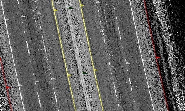
This project consisted of a topographic and design survey approximately or 1.3 miles of Loop 410. The limits of the project started 500’ north of the intersection with Marbach Road and continued south until 1,000′ south of the southern terminus of US 90 and extended from right of way to right of way along Loop 410. This project was performed by three different companies. SAM’s task was to use our mobile LiDAR system to map the main lanes of Loop 410 from edge of pavement to edge of pavement, a total of six lanes plus shoulders, and collect all break lines and planimetric features within the SAM project limits. The other two companies collected conventional survey data outside of SAM’s limits. All the survey and mobile mapping data was to be appended together to generate a unified 3-D DTM and TIN as well as a 2-D planimetric drawing for the whole project. SAM collected the mobile mapping data in the field in a span of five hours without the need for lane closures and delivered the extracted 2-D and 3-D data from the calibrated point clouds over the span of four weeks.


