
This project objective was to provide a comprehensive GIS program for the City to utilize for GPS location of all utility features with asset management capabilities.
The City of Girard, Kansas made connections with SAM (formerly Midland GIS Solutions) in 2013 with a need to get their electrical network located and mapped with asset management implementation. Using mapping-grade GPS methods, we located and conducted inventory and inspection of the electric utility network contained within the defined project limits. The technology resulted in decimeter-level accuracy (+/- 4 inch) of GPS positions on utility features. Captured features through GPS surveys included all features designated by Girard during the planning phase of the project.
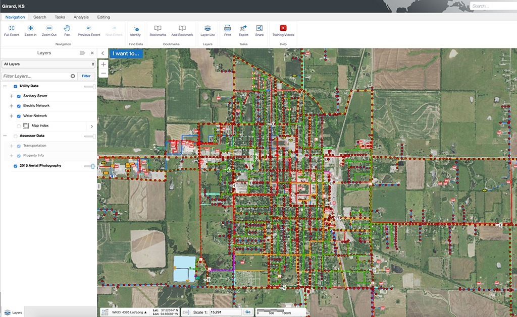
A web-based GIS site was set up for the City in Integrity™, a web-based and mobile software solution provided by SAM to edit, maintain and analyze GIS data. With built-in workflows for daily operations and utility asset management for municipal government, Girard staff can quickly access their mapping data on any computer or mobile device with offline capabilities.
Pleased with the work done, Girard reached out again in 2015 for sanitary sewer and again in 2016 for water network mapping and inventory and inspection services. Altogether our firm mapped and took inventory on over 7,500 assets spread across over 1,500 acres. The entire data collection was implemented into the user-friendly Integrity program for City staff to access it anytime, from anywhere.
Today Girard uses Integrity™ to schedule and budget infrastructure maintenance plans, get periodical gravity main and water main reports. With just a few clicks administration can even relay the information to staff in the field for tasks to complete.


