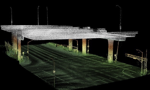
SAM collected eight miles of 9-lane surface streets adjacent to the Crenshaw Light Rail track with our Mobile LiDAR mapping system to create a 3-D visualization tool. Our client, a national engineering firm, used this adjusted .LAS data for presentation to the light rail operator and for project engineering functions. SAM created a smooth best estimated trajectory, then matched the trajectory with the scan data, stitched the flight lines together, and delivered the adjusted .LAS point cloud files.


