
This project objective was to completely re-map the county’s land parcels and integrate this data into a comprehensive, countywide GIS program to support various county departments and overall land records management.
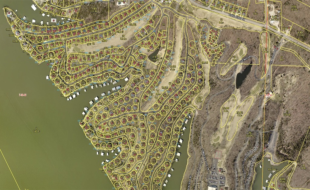
Camden County had a growing concern about the accuracy and maintenance of their GIS data and selected SAM (formerly Midland GIS) to re-map the County of approximately 67,800 parcels. GIS technicians compiled relevant research and existing GIS data to remap the cadastral data in the new GIS program. With Camden County’s location and proximity to the Lake of the Ozarks, special data layers were developed in the GIS program, including a condominium point layer, Ameren UE shoreline management plan data, FEMA flood plain layer and a lake layer with lake centerlines and mile marker features.
SAM’s map maintenance model and ongoing parcel maintenance was a critical part of this project due to the large number of map changes throughout GIS development. Our staff of experienced GIS technicians completed map maintenance on a monthly basis and kept an open channel of communication with the Camden County Assessor’s office to ensure accuracy and efficiency in parcel maintenance, map updates and overall GIS data development.
Camden County contracted with us to develop and implement a web-based GIS site that would allow users to efficiently access and analyze their GIS data in a reliable, multi-user environment. When the mapping project was completed, all data was integrated into the web-based GIS program.


