
This project objective was to completely re-map the county’s land parcels and integrate the data into a comprehensive, countywide GIS program to support various county departments and overall land records management.
The assessor’s office in Audrain County, Missouri was in the midst of a CAMA database provider change in 2016 when county administration reached out to SAM (formerly Midland GIS Solutions) about transferring its existing GIS into a web-based program for a more user-friendly solution.
We were awarded the contract later that same year, and transferred the county’s existing GIS data into Integrity, a web-based solution provided by SAM. Integrity allows users to easily access and edit their data in a secure, reliable and multi-user environment. HTML5 technology, routinely utilized in Integrity, ensures that Audrain County staff has access to their GIS data from any computer or mobile device.
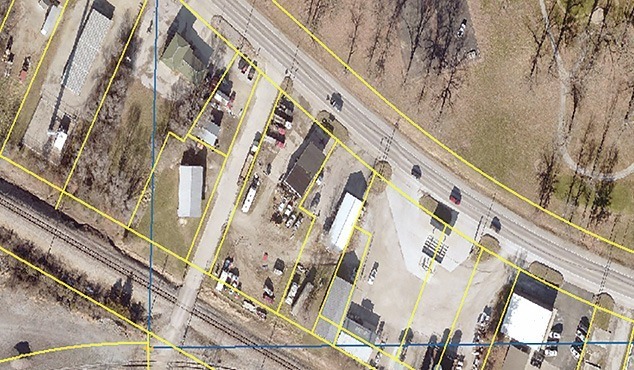
Audrain County staff were pleased with the robust features provided by Integrity, but knew the original data provided had inaccuracies. The county contracted with us again in 2019 for a countywide reconstruction project to ensure the GIS data was accurate moving forward. The project included reconstructing nearly 15,000 real estate parcels. The project also included creating a data layer for culverts and small structure bridges to assist the county’s engineering department. The project is set for completion in late 2020.
Upon completion of the reconstruction project, Audrain County is guaranteed a clear and accurate overview of property assessment throughout the entire county. The engineering department will also have a way to maintain and edit data as a way to track, schedule and budget replacement and rehab projects moving forward.


