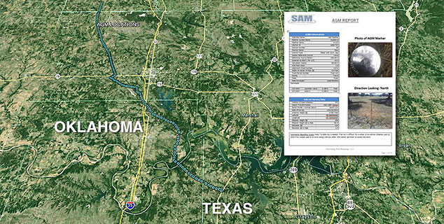
SAM provided sub-centimeter Above Ground Marker (AGM) surveys and In-Line Inspection (ILI) tracking support on 6 segments of 4-inch pipeline in southern Oklahoma. The total project was 69 miles in length. AGM markers were placed every quarter mile in an effort to map the centerline locations for right-of-way support. Pipeline marker signs, launcher/receiver facilities, and exposure locations were part of the centerline survey during the AGM placements. All data collected was supplied to client in standard format and included a GIS deliverable of the features surveyed.
Each segment of pipeline was inspected by two different ILI tools and SAM provided tracking services for those runs. The pipeline segments were in a remote location and required front-end planning and coordination prior to the runs to make the tracking successful. During inspections the tool encountered obstructions that caused it to become stuck. SAM field crews were able to quickly locate the position of where the tool was stuck and verify the transmitter signal underground.


