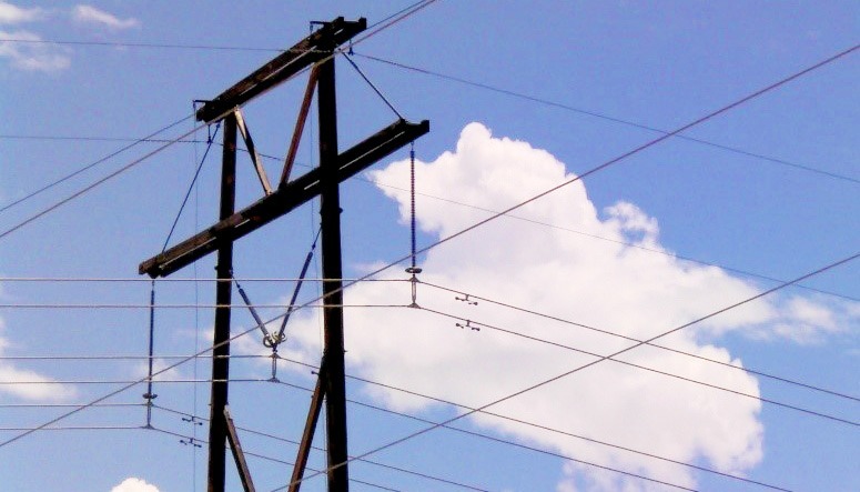
SAM provided land surveying and aerial mapping services for the design of a 20-mile 115kV transmission line project in Weld County, Colorado. Initially, we performed a static GPS survey to establish project control as well as supplemental control for the aerial photography and LiDAR acquisition tasks. Features were extracted from the data to create a planimetric basemap and 1′ contours were generated. High-resolution digital orthophotos were processed and provided in ECW and TIFF formats. SAM provided Subsurface Utility Engineering (SUE) services to help the design team identify existing utility conflicts. We also performed a boundary survey of 30 Public Land Survey Sections to create a parcel basemap used to create permanent access and transmission line easements, as well as temporary construction easements. SAM crews worked with the design team to establish structure locations and develop new access roads to the proposed structure locations. The structures and access roads were then staked and a Use by Special Review Plat was prepared for project approval by Weld County.


