
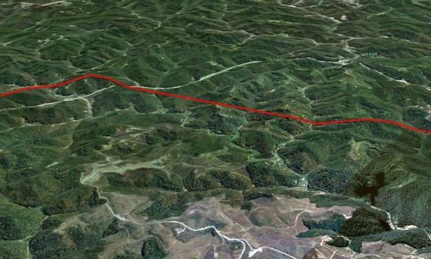
SAM performed aerial photography and LiDAR to support engineering design for the upgrade of four substations and construction of approximately 24 miles of new 138kV electric transmission line to meet increasing electric demand and improve reliability for customers in the area. The line will be constructed on steel pole and H-frame structures approximately 100 feet in height within a 100-foot right-of-way.
Design mapping services included helicopter based LiDAR acquisition at a minimum point density of 20 points per square meter over a 600 foot wide corridor and a geo-referenced video. To accommodate any possible route changes that would exceed the LiDAR corridor, aerial imagery was collected for a 1 mile wide corridor. LiDAR data was processed to a “bare earth” model and all aerial obstacles were extracted/classified including distribution and transmission lines. Deliverables included PLS_CADD .bak file containing aerial obstructions, DTM, vegetation, and planimetrics.


