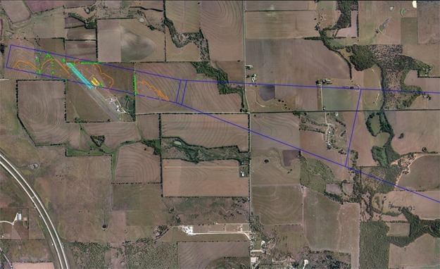
SAM conducted a property boundary and obstruction survey for expansion of an existing private airport. Control for the project was based on the existing Primary and Secondary Airport Control monuments recovered on the airfield with State Plane Coordinates as published by the National Geodetic Survey. Additional project control and boundary points were measured and collected using multiple GPS-RTK and conventional observations and adjusted using least-squares algorithms
Boundary lines were established from the metes and bounds descriptions contained within the deed to the subject property and compared with descriptions found in adjoining property deeds. Research for easements and restrictions affecting the property, was subcontracted to a local abstractor. A Final plat and metes and bounds description were prepared to Texas Board of Professional Land Surveyors standards depicting the 370.9 acres surveyed.


