
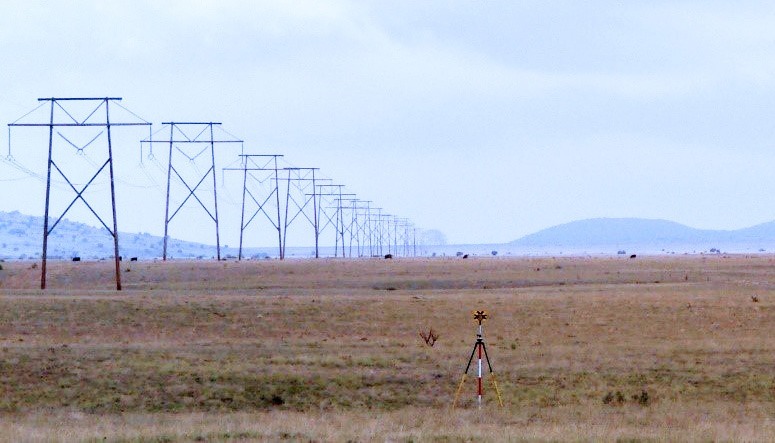
The transmission project consisted of 520 miles of two single-circuit 500 kV transmission lines consisting of approximately 180 miles of Federal land, 230 miles of State Trust land and 108 miles of private land across 11 counties located in Arizona and New Mexico.
SAM provide primary and secondary project control utilizing GPS Static methods and the Online Positioning User Service (OPUS) to establish National Spatial Reference System (NSRS) positions. Primary control points were set approximately every six miles and secondary points on an as-needed basis, resulting in approximately 300 control points.
SAM conducted initial records research at each county for existing surveys and easements of record, each state Department of Transportation for highway right-of-way (ROW) plans to establish existing ROW’s, and the Bureau of Land Management for the original GLO plats and field notes for corner recovery and section breakdown. SAM used these records to create a search map and then surveyed approximately 620 sections on the ground to prepare a base map for boundary determination and easement preparation. This resulted in the creation of approximately 1,200 easements.
Bureau of Land Management – 180 miles, 230 sections, 245 exhibits
Identify route modifications from the existing BLM 400’ ROW Grant to prepare 245 preconstruction Short Term and Permanent Amended Right of Way exhibits to include ROW widening and new ROW’s for tower pads, existing and new access roads, and temporary use areas. Areas and ROW lengths were calculated and broken down by quarter-quarter section for each exhibit. These exhibits were included in the BLM ROW Amendment Application (SF 299) submittal.
Arizona State Lands – 135 miles, 162 sections, 309 easements
Worked with the Arizona State Land Department (ASLD) to prepare 309 easements that affected approximately 162 sections State Lands. Uploaded the preliminary easements to the ASLD share site for review.
New Mexico State Lands – 95 miles, 105 sections, 227 easements
Worked with the New Mexico State Land Office (NMSLO) Right of Way Division to prepare 227 easements that affected approximately 105 sections of State Lands. Delivered preliminary CAD, GIS and PDF formats of the easements to NMSLO for review. Also staked the centerline of all of the easements in the field for the Field Operations Division to perform the required field inspections.
Private Lands – 108 miles, 123 sections, 419 easements
Reviewed approximately 240 title commitments and plotted the parcel boundaries and existing easements. Prepared and delivered the legal descriptions and easements to the client to use with landowner negotiations.
Overall, 70 crossing surveys were performed to provide detailed mapping of existing canals, rivers, railroads, highways, underground pipelines and overhead utilities to be used for engineering design. This data was collected utilizing GPS and a high-density 3D scanning total station.


