
This project objective was to conduct a comprehensive GPS survey of the City’s utility networks to provide daily workflow improvements for solutions to meet the City’s short-term and long-term needs.
Adel, Iowa is a progressive community located 25 miles west of the Des Moines metropolitan area. In 2014, the City was in the process of implementing a Capital Improvement Plan (CIP), which included numerous updates to the City’s utility infrastructure and the community had also seen a spike in population growth. The GIS data developed for Adel by another firm was inaccurate and not usable in assisting with short and long-term asset management planning and maintenance. The City selected SAM (formerly Midland GIS Solutions) based on qualifications to conduct a comprehensive GPS survey of the City’s utility networks.
We utilized real-time kinematic (RTK) survey-grade GPS technology to GPS locate all of the designated features associated with the sanitary sewer, water and storm water utility networks. GPS field crews conducted comprehensive top-side manhole inspections on sanitary and storm water manholes and also GPS located curb stops to integrate into the waterline network.
Field personnel utilized custom data collection application to ensure that all utility features and attributes were collected in a clean and consistent manner and seamlessly integrated into the geodatabase for GIS mapping. The geometric rules associated with this custom software auto-generated the sanitary and storm water line segments and included flow direction, slope and exact length measurements. Individual water main segments were assigned diameter and material attributes. The accuracy associated with the overall GIS mapping process was a top priority for Adel to ensure that the GIS program was reliable and utility networks were complete to move forward with engineering projects and long-term maintenance plans.
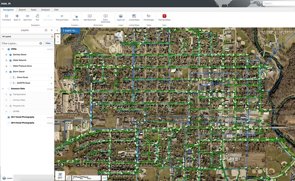
Today, the City utilizes our Integrity GIS solutions to view, share, analyze and manage their GIS data from any web-enabled desktop or mobile device. They rely on their GIS program on a daily basis, which has helped the City to reduce overall utility costs associated with asset management and maintenance activities.


