
This project consisted of a preliminary route survey from an existing site in Avoyelles Parish, LA going south to a proposed compressor station site in Point Coupee, LA. It included approximately 100 miles of 36″ and 42″ pipeline. All pertinent features along the route were located as well as the proposed sites. Additional temporary workspace locations were also located. IFB and IFC alignment sheets were generated using Blue Sky Align DB. Easement documents, railroad crossing documents, LA DODT and county road crossing drawings, and river crossing permit drawings were produced for the proposed pipeline alignment.
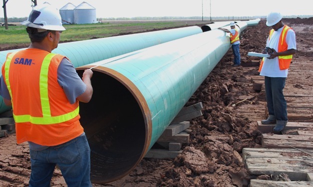
Upon commencement of the construction phase of the project, the workspaces were staked for clearing. Prior to ditching, the centerline and limits of the workspaces were staked. As the pipe was strung along the right-of-way, it was bar code scanned, tallied and all pertinent pipe data, including weld information, was gathered. The pipe was surveyed in as it was lowered in and all welds, as well as the pipeline appurtenances, were located. All of this as-built data, including the scanned pipe data, was incorporated in to the alignment sheets using Blue Sky Align DB and the project database was exported and delivered to the client along with the as-built alignment sheets.


