SAM Technology Symposium & Hospitality Event
A Discussion on Managed Geospatial Services ™
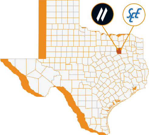
25 June, 2024 | 5:00 PM - 8:00 PM Hilton Anatole 2201 N Stemmons Fwy, Dallas, TX 75207 The Metropolitan Room
let slug = location.pathname.split('/').slice(1); let trgt_btn = document.querySelector(".hov-orn") let base_url = document.querySelector(".hov-orn").getAttribute("href"); console.log(base_url) console.log(slug[0]) trgt_btn.setAttribute("href", `https://info.sam.biz/dallas-symposium?utm_source=${slug.join('-')}&utm_medium=SAM_web`)