Rail Infrastructure Services

Rapid response anywhere your rail infrastructure takes you

At SAM, we’re built to scale. We can support large rail projects anywhere in the nation, giving transit and long-haul rail providers access to the industry-leading geodata and construction services they need to build and expand with confidence.

With extensive rail infrastructure experience, we are the partner of choice for clients that want fast, accurate data and a team that understands railroad engineering.

Complete range of nationwide services

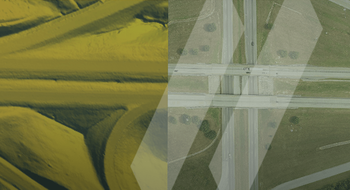
Whether you begin with land surveying, aerial mapping, LiDAR scanning, or subsurface utility engineering, we bring all the skills you need to understand and model your site, paving the way for a successful rail infrastructure project.

Our technology is a game-changer

With deep, accurate data from the beginning, our clients can design and build more rapidly with less risk of conflict in the field, improved constructibility, and complete confidence in the project’s fundamentals.

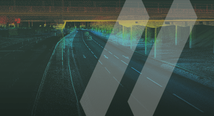
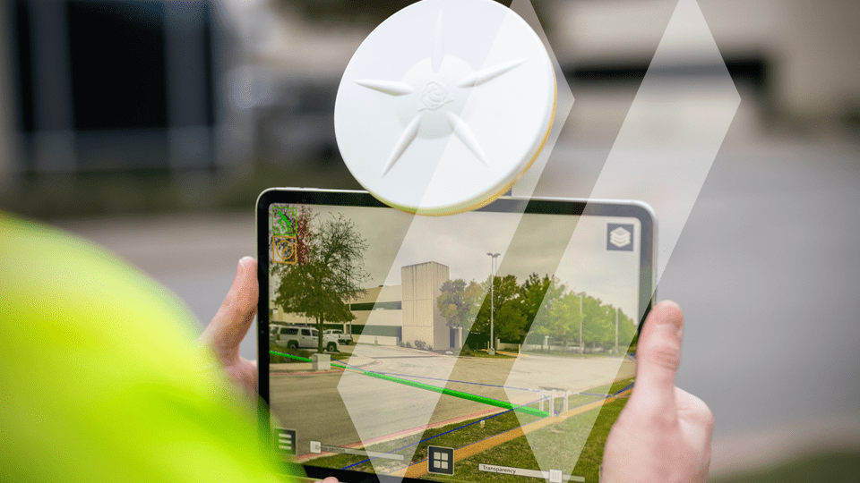
To deliver data of this quality, SAM invests heavily in today’s top geospatial technologies, including a hi-rail scanning platforms. We also work closely with our manufacturers and developers to improve their projects — and produce even better results, faster. These solutions include a range of LiDAR technologies, photogrammetry technologies, and mobile mapping systems.

Our experience speaks for itself

Our rail industry team is certified through TWIC and eRailSafe and carries training through RWT. Our team is adept at managing fast-track project schedules, and SAM’s experienced program managers can support rail infrastructure projects of any size and complexity, anywhere in the country.

Contact Us Today
Want to experience the SAM difference for yourself?
Reach out today and learn how we can put our resources to work for your next rail project.

Key Services

  • Airborne, Mobile, and Terrestrial HDR LiDAR
  • Photogrammetry
  • Traditional Land Surveying
  • 3D CAD Design Data
  • PTC Data
  • Asset Management Data
  • GIS
  • Clearance Data and Documentation
  • Planimetric and Topographic Design Data
  • Fully-integrated System Management Solutions
  • Right-of-Way Visualization