Our vast scope of services plays a vital role in providing the foundational data, input, insight, and oversight needed for programs success.
We work on programs of all sizes, from local route surveying to complex, multibillion-dollar infrastructure improvement programs for a range of industries.
We’re looking for talented individuals to join our team. At SAM, we are committed to driving technological change while promoting and supporting a culture of inclusion.
We possess proven strategies to plan, build, and operate assets that meet the future demands of a connected transportation ecosystem. Our licensed professionals ensure your program meets safety, structural, and regulatory requirements in a holistic Managed Geospatial Service™ approach.
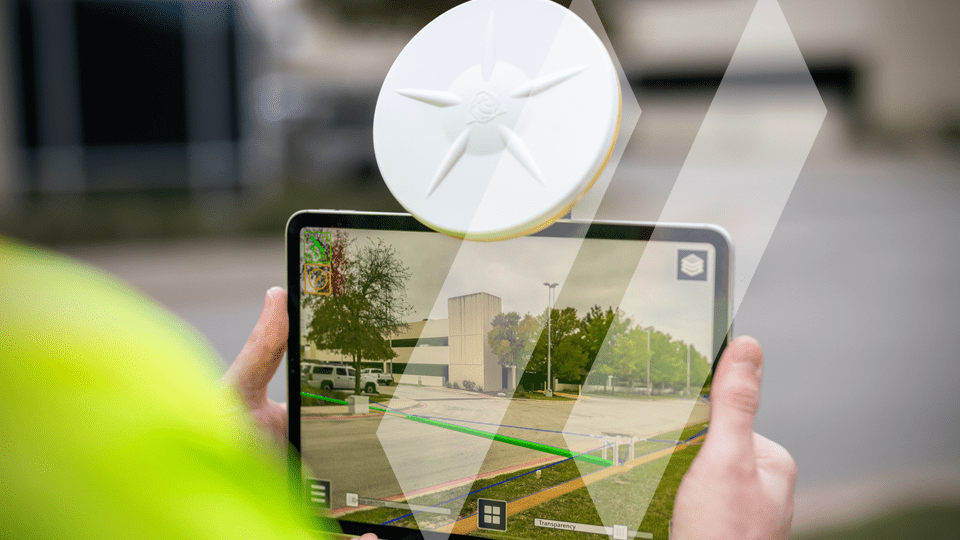
Engineering Inspection services are one of the critical links between design and operation. We provide material testing expertise for quality oversight of transportation and infrastructure improvements. Clients rely on our suite of advanced Geomatics services, including Augmented Reality (AR) tools. We record and document infrastructure assets to confirm as-built conditions in an immersive 3D environment, enhancing effective communication among the various stakeholders. Before the asset is built and after it is commissioned, SAM is your trusted, knowledgeable, innovative Geospatial and Inspection partner.
When you partner with SAM, we empower you to modernize your infrastructure to better serve your community. With more than 30 years of experience delivering solutions for transportation programs, our team provides the innovative technology to tackle any challenge and the veteran expertise to determine the right solution for your program. We work closely with you to plan and develop new transportation infrastructure that enhances safety, meets local and national regulations, and transforms aging infrastructure through data-driven improvements. Our Geospatial and Inspection expertise produces actionable insights so you can make informed decisions. With a cloud-first, seamless integration and convenient access to spatial data, we deliver Managed Geospatial Services™ that optimize improvements to new and existing infrastructure, building intelligent transportation networks.
SAM’s tenured team of registered professional land surveyors, professional engineers, certified safety professionals, risk management professionals, and program managers bring exceptional experience and expertise to the transportation infrastructure market.
Associate, Senior Vice President, Corporate Transportation Market Sector Director
SAM understands that when you start with Geospatial data you trust, you can move your program forward more efficiently. We have built a reputation as a trusted, knowledgeable, and innovative partner.
As the premiere Managed Geospatial Services™ (MGS™) company, we have the specialized knowledge and scale to handle the full lifecycle of transportation projects from coast to coast with unparalleled speed and responsiveness, while guiding you through local regulations and permitting.
With myriad cutting-edge and customized technologies available to capture the most accurate and reliable spatial data, we lean on our deep expertise to develop intelligent insights in a holistic MGS™ framework.
Discover how TxDOT partnered with SAM to streamline their District approval process with organized record-keeping.
See how SAM provided SUE using Impulse Radar Raptor 3-D ground penetrating radar (GPR) for the Annual Pavement Rehabilitation Project at DEN.
Explore how SAM supported the Permian Promise through large-scale construction engineering inspection.
Optimize and modernize your transportation infrastructure. Access the accurate Geospatial insights necessary to begin your program today.
Land Surveying services in New York are conducted under our affiliated company, SAM-NY Geospatial, Inc.