Remote Sensing Services

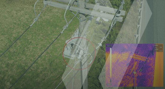
SAM collects near-infrared (NIR), thermal, and RGB imagery that is utilized to support vegetation health, forestry management, and energy infrastructure inspection applications. NIR imagery can be acquired simultaneously with HD LiDAR and used in many ways. NIR imagery is beneficial to identify wetlands for environment studies and evaluating soil moisture content. SAM’s remote sensing scientists have successfully used the technique to locate buried drain tiles in agricultural areas for the development of solar power generating sites and avoid costly construction delays. Thermal imagery collected at close range using unmanned aerial systems can be used to detect anomalies for electric distribution and transmission components. RGB imagery is collected simultaneously with the thermal imagery for a side-by-side comparison of electric infrastructure to identify components that may fail, thus improving reliability and avoiding electric outages.

Whether you need a big-picture view of a large agricultural or forestry site, or temperature of a small electrical component, SAM has the sensors, platforms and expertise to perform the task. With our national footprint and ability to scale resources, our comprehensive remote sensing solutions provide proven methodologies and an accurate and cost-effective alternative to traditional surveying and data capture techniques.

Advantages of Remote Sensing Technology

SAM offers its variety of remote sensing services to supplement and support design and study area surveys faster, more safely, and economically. Roadway surveys are performed with the use of mobile LiDAR scanners and multi-array sensors, driven along the routes at the speed of traffic collecting high-density 3D information that can be processed in the office, reducing exposure of survey crews in the highways. Large areas can be surveyed remotely from aerial images and LiDAR point clouds, saving many days of fieldwork. SAM has adopted the use of remote sensing technology to support all of its high accuracy survey projects, allowing our clients to benefit from a faster and more economical method of surveying.

Our technology is the difference

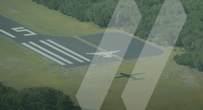
SAM is committed to adopting the industry’s best remote sensing technologies, and we work closely with developers to add the features that help us capture more valuable, complete, and best resolution datasets, in the most efficient way for fast analysis and reporting. We offer the use of aerial, mobile, and static terrestrial sensors, medium format digital photogrammetric mapping cameras for natural color, infrared, and thermal images. Using our fleet of advanced unmanned rotary and fixed-wing aircraft, we can rapidly deploy sensors to meet any project schedule.

By investing in and customizing leading-edge solutions, we ensure an exceptionally high rate of data capture, a broad field-of-view, and high-resolution results. However, our service does not end there. Our multiple data processing software systems allow us to tailor data processing to specific client needs and we are able to deliver data in a wide variety of formats, including all industry standards.

Team
Meet our team of industry-leading experts.

Key Services

  • Near-Infrared Imagery
  • Thermal Imagery
  • LiDAR Classification, Mapping and 3D Modeling
  • Digital Orthophotos
  • Drain Tile Location Mapping for Renewable Energy
  • Vegetation Health Assessments – NDVI Processing
  • Biomass Calculation for Forestry Management
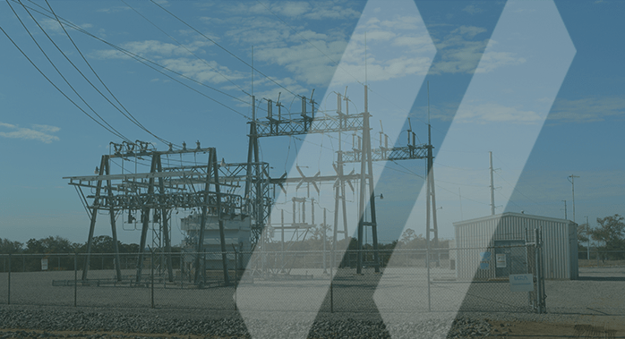
  • Electrical Component Analysis for Transmission, Distribution, and Generation

Ready to meet your project needs

Whether you are looking for a quick aerial survey, 3D modeling of your project, an inspection of your assets or facilities, or just a partner you can trust, SAM is here to help. Our remote sensing solutions are one more way SAM invests in our clients’ success.