Our vast scope of services plays a vital role in providing the foundational data, input, insight, and oversight needed for programs success.
We work on programs of all sizes, from local route surveying to complex, multibillion-dollar infrastructure improvement programs for a range of industries.
We’re looking for talented individuals to join our team. At SAM, we are committed to driving technological change while promoting and supporting a culture of inclusion.
A Discussion on Managed Geospatial Services ™
25 June, 2024 | 5:00 PM - 8:00 PM Hilton Anatole 2201 N Stemmons Fwy, Dallas, TX 75207 The Metropolitan Room
Information-rich Geospatial data is foundational to support a range of planning and engineering applications. SAM’s innovative collection methods deliver actionable intelligence through a holistic Managed Geospatial Service™ framework over the infrastructure lifecycle. We deliver insights to drive successful client outcomes in complex urban environments and the most challenging terrains.
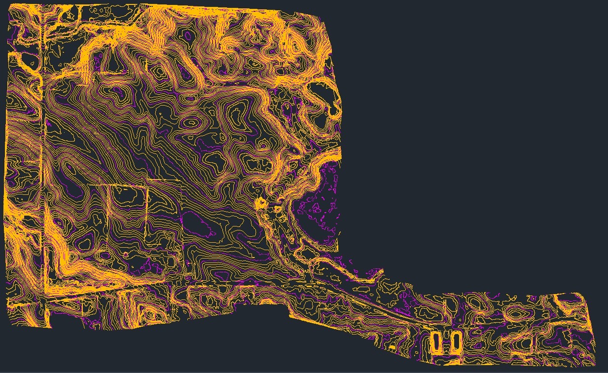
SAM acquires premium LiDAR and Imagery that achieve survey-grade accuracies. Intelligent attributes provide the insights to analyze the visible and invisible spectrums to support informed business decisions. Digital 3D reality maps are optimized for client workflows. SAM has developed AI and ML models to classify, extract features, and inspect infrastructure that our data scientists further refine.
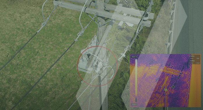
Our inspection management software incorporates AI/ML to streamline Geospatial workflows, thus improving the inspection, classification, and inventory of structures and components. SAM Inspect™ enhances condition-based operation and maintenance decisions with convenient desktop examination of assets such as transmission structure integrity, condition of individual components, and vegetation encroachment threats to prioritize maintenance plans.
Electric
Renewables
Water
Natural Gas
Government
Transportation
Natural Resources
SAM has built a reputation as a trusted, knowledgeable, and innovative partner.
Over 1000 data scientists, professionally licensed surveyors, certified photogrammetrists, certified LiDAR specialists, certified thermographers, GIS professionals, and remote sensing analysts comprise the Aerial Mapping & Remote Sensing services.
SAM transforms petabytes of complex spatial data into intelligent insights in a holistic Managed Geospatial Services™ (MGS™) framework. MGS™ is the digital ecosystem that simplifies the complicated so our clients can achieve the impactful outcomes that drive their business forward.
As North America’s premiere MGS™ company, SAM provides practical, precise, and high-fidelity solutions designed to enhance decision-making, mitigate risks, achieve strategic objectives, and drive costs out of our client’s business. Our vision is to advance spatial data acquisition, improve analysis capabilities, and develop predictive analytics to redefine and transform how infrastructure assets are developed and managed throughout their lifecycles.
SAM’s licensed professionals, Part 107 certified remote pilots, licensed commercial pilots, trained flight observers, and data scientists bring deep experience to deliver comprehensive, holistic Managed Geospatial Services™.
Current users login here for your viewing electric inspection reports.
At SAM, we do more than provide Geospatial data – we plan, design a holistic suite of Managed Geospatial Services™ for the complete lifecycle of infrastructure assets. Discover how SAM’s Aerial Mapping and Geospatial Inspection can support your next program.
Land Surveying services in New York are conducted under our affiliated company, SAM-NY Geospatial, Inc.