
Professional Services that Power Decisions
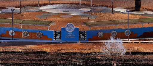
Strategic Data for Public Projects:
Delivering Data Centers with Confidence:
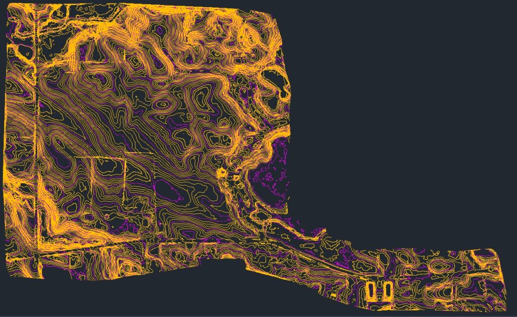
The Power of Geospatial Data:
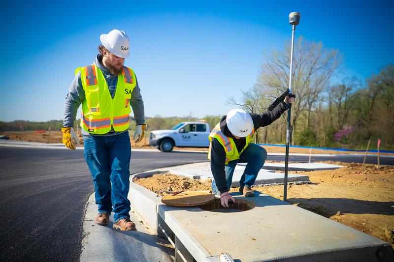
Safe, Smart, Seamless:
Strategic Data for Public Projects:
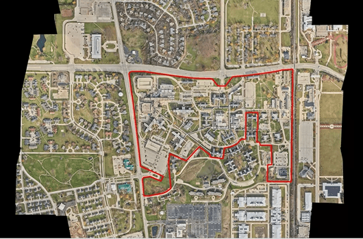
Comprehensive Site Data for Comprehensive Insight:
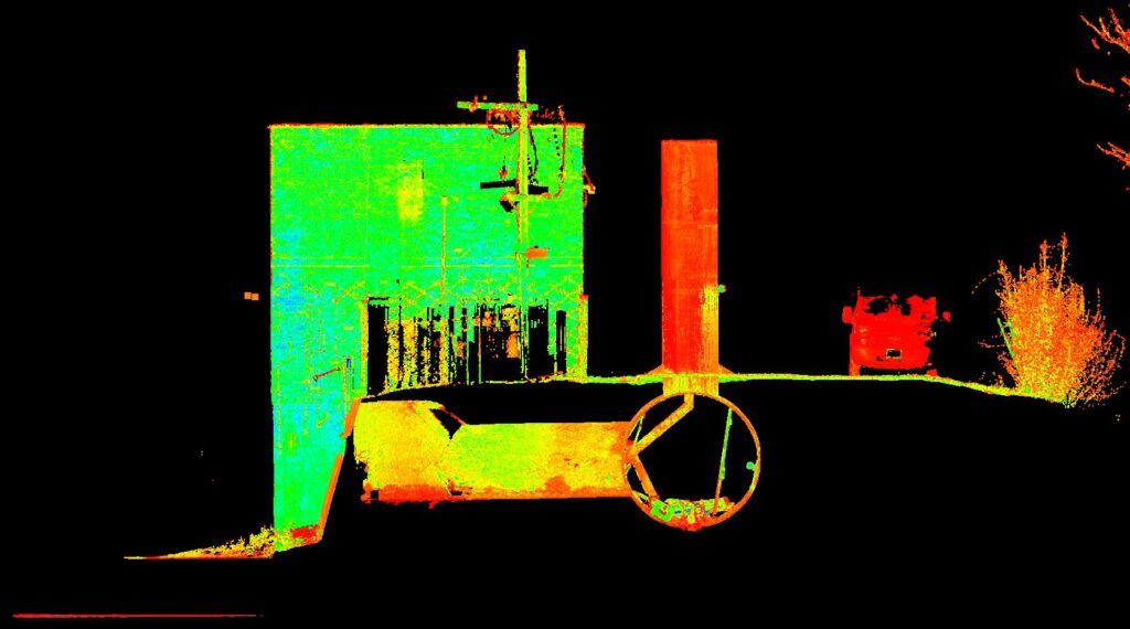
Data that Protects:
The SAM Difference
The answers to your biggest business challenges are found in your data.
We collect and deliver geospatial data, and then architect it in a way that unlocks the insights needed today and structure it to answer tomorrow’s questions.
SJB Group Has Joined SAM
Amplify Podcast Episode 21: Stories from the Field: Phillip de Klerk - Leadership, Innovation, & Growth
SAM Announces New Executive Leadership Appointments
SAM Partners with New Mountain Capital & Dr. Hisham Mahmoud
SAM Announces 2026 Sam G. Hanna Honorary Scholarship Recipient
Lead What’s Next in GIS
Celebrating Becky Schneider’s MAPPS Appointment
Donaldson, Garrett & Associates, Inc. Has Joined SAM
SAM Ranks No. 92 on ENR’s 2026 Top 500 Design Firms List
SAM Delivers CIM-Based Network Model Management for Ameren
SAM Named a 2026 USA TODAY Top Workplace
SAM’s Columbus Office Named a 2026 Top Workplace by Columbus CEO
SAM’s Austin and North Austin Offices Named Top Workplace by the Austin American-Statesman
SAM’s Houston and The Woodlands Offices Named Top Workplace by the Houston Chronicle
SAM’s Charlotte Office Named a Top Workplace by Charlotte Magazine
SAM Announces New Executive Leadership Appointments
SAM is proud to announce the promotions of Brett Smith, Greg McKnight, and Dan Pollock to new executive leadership roles, strengthening the company’s leadership team as it continues to position the business for long-term growth and success.
SAM Partners with New Mountain Capital & Dr. Hisham Mahmoud
A strategic partnership for the next stage of growth
SAM Announces 2026 Sam G. Hanna Honorary Scholarship Recipient
SAM has awarded the scholarship to Gabrielle “Gabbi” Wagner in support of her aerospace engineering studies.
Lead What’s Next in GIS
Join SAM in Denver as a GIS Senior Project Manager and help shape the future of geospatial solutions across the Mountain Region.
Celebrating Becky Schneider’s MAPPS Appointment
Becky Schneider has been selected to serve as the MAPPS Liaison to USGS for a four-year term.
SAM to Exhibit at 2026 GAWP Annual Conference
Visit us at Booth #19 in Savannah, GA
July 12–15.
Donaldson, Garrett & Associates, Inc. Has Joined SAM
SAM has acquired Donaldson, Garrett & Associates, Inc. (“DG&A”), a Georgia-based land surveying firm serving commercial, utilities, and local government clients.
SAM Ranks No. 92 on ENR’s 2026 Top 500 Design Firms List
This recognition marks our 14th consecutive year on the list and reflects the expertise, hard work, and commitment our teams bring every day, along with the trust our clients and partners continue to place in us.
SAM Delivers CIM-Based Network Model Management for Ameren
A single, trusted model for the modern grid.
SAM Named a 2026 USA TODAY Top Workplace
Employee feedback-based recognition highlights the strength of SAM’s culture across the company
SAM’s Columbus Office Named a 2026 Top Workplace by Columbus CEO
Recognition reflects a strong workplace culture shaped by employee feedback
SAM’s Austin and North Austin Offices Named Top Workplace by the Austin American-Statesman
Recognition celebrates SAM’s culture of excellence, collaboration, and employee engagement
SAM’s Houston and The Woodlands Offices Named Top Workplace by the Houston Chronicle
Recognition highlights SAM’s culture of excellence, collaboration, and employee engagement
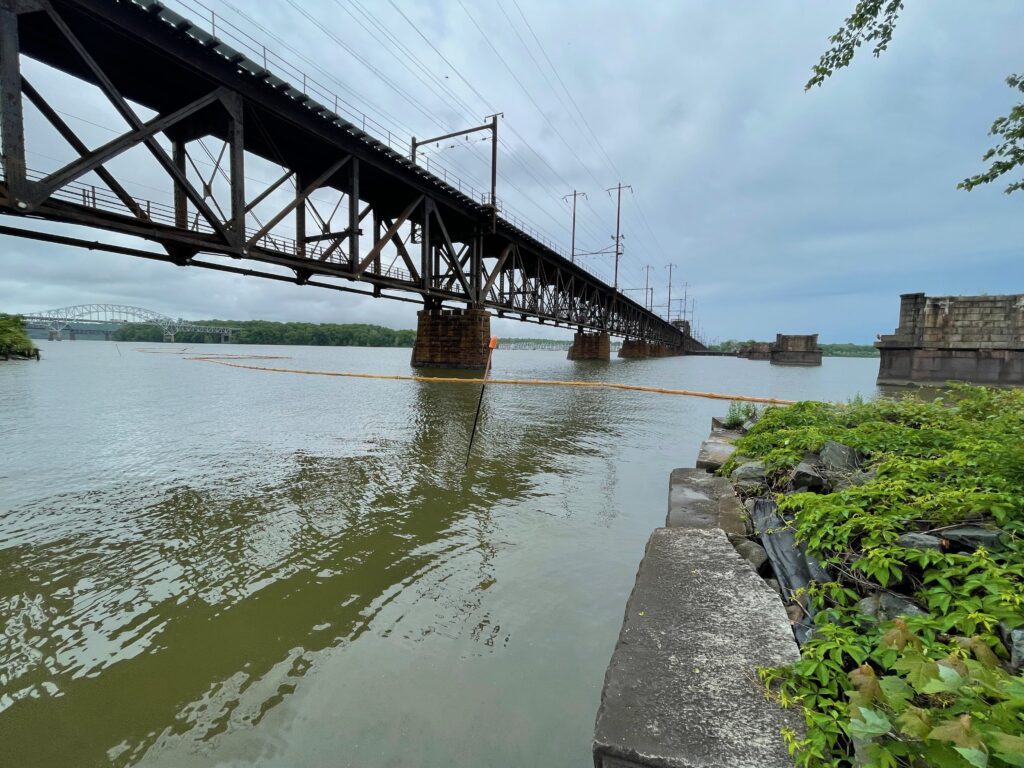
Amplify Episode 20: Conversations from the Field
Join Chris Zmijewski in Richmond, Virginia, as he talks with field crew members Bow Chadwick and Michael Philyaw about surveying, technology, and life on a busy data center project
SAM’s Charlotte Office Named a Top Workplace by Charlotte Magazine
Recognition celebrates SAM’s culture of collaboration, innovation, and employee engagement across the Southeast.
SAM’s Melville Office Named a Top Workplace on Long Island
We are proud to share that SAM’s Melville, New York office has been recognized as a 2025 Top Workplace on Long Island by the Long Island Press!
SAM Earns ACEC National Recognition Award
For work on TxDOT El Paso District Border Highway East Study
National Reach. Local Teams.
SAM teams can deploy in 24 hours to begin collecting your data – from land surveys to information-rich digital data. With advanced technologies and expert consulting teams, we turn your data into your biggest asset.
SERVICES
Land Surveying, Mapping and Data Collection
Leverage SAM’s geospatial expertise to enhance data precision and project outcomes with state-of-the-art mapping and surveying technologies.
Inspection
Digital and Data Solutions
Utility Location
A Culture of Collaboration and Growth
Life at SAM is about making impactful contributions in a top-ranked work environment. Our doors are open to fresh ideas and diverse perspectives, ensuring every day you’re part of something significant—where your career and community contributions truly matter.
FEATURED INSIGHTS


LEARN MORE ABOUT MANAGED GEOSPATIAL SERVICES™
Expedite your discovery phase with comprehensive Geospatial data to make informed business decisions and accelerate your planned infrastructure development. Explore how our Managed Geospatial Services™ can address the full lifecycle of your assets.