
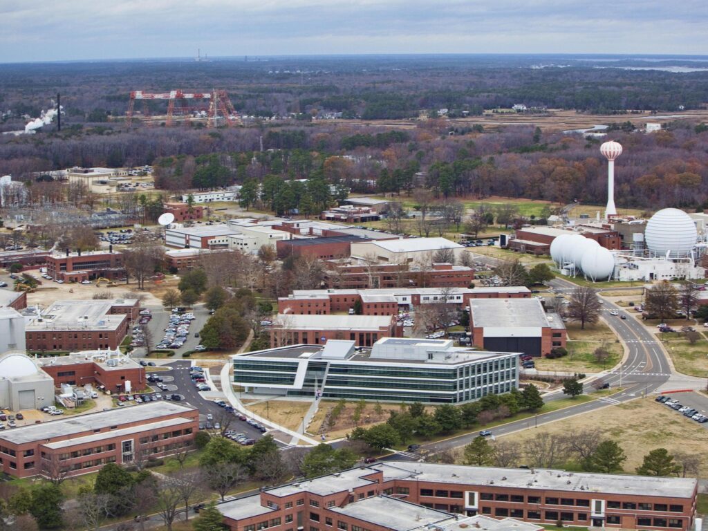
This project objective was to conduct a comprehensive GPS inventory of existing sanitary sewer and storm water infrastructure at the NASA Langley Research Center (LaRC) in Hampton, Virginia.
Established in 1917, Langley is the oldest NASA field center in the Country and has an intricate network of underground utilities. Through a five-year contract with NASA Langley, SAM (formerly Midland GIS Solutions) was selected to provide geospatial services to LaRC and was awarded a special project to GPS locate, inspect and map the facility’s sanitary sewer and storm water infrastructure.
Utility features were located utilizing Real-Time Kinematic (RTK) GPS methods, resulting in centimeter-level accuracy of GPS positions and accurate elevations on sanitary sewer and storm water utility features. Our firm collected attributes on all features using a custom data collection application on all field data collectors and also conducted detailed inspections on sewer and storm manholes, yielding information such as manhole depth, pipe size and type, condition rating, evidence of infiltration, rim elevation, and numerous others. Nearly 20 data fields are collected for each feature inspected.
We created a geodatabase and unique feature class data layers for the networks GPS located. Inspection was incorporated and sewer and storm line segments illustrate flow direction, slope and exact length measurements. This data will be integrated into the internal GIS program for the NASA Langley facility.


