
SAM was tasked to provide ground control, new aerial photography (including film negatives and contact prints), digital terrain model (DTM), digital orthophotography, digital contours, and planimetrics of portions of Farmers Branch (approximately 121 acres) for use in developing “Plan and Specifications” and updating hydraulic models. SAM prepared a parcel map of all properties within the defined project area. Additional tasks included collection of deeds, easements, plats and other documents of record; survey of property occupation lines and recovery of major block corner points and/or street intersections; and rectifying parcel lines to project datum.
SAM has established horizontal control based on Texas State Plane Grid Coordinate System, NAD 83 State Plane Zone 4202 that complies with Corps of Engineers, 3rd Order, Class II standards as outlined in EM 1110-1-1000. Vertical control is based on NAVD-88 and complies with Corps of Engineers 3rd Order standards as outlined in EM 1110-1-1000. Control work is based on City of White Settlement monument.
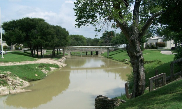
SAM located utilities to include: water, sanitary sewer, storm drainage, electrical, communications, and gas. Hydraulic features to be located include cross-sections and culverts. Bridges surveys include profiles of the top of road, deck dimensions, rails, abutments, and piers, as well as the hydraulic length of the bridge and ground cross sections at the face of bridge.
Aerial Mapping met ASPRS CLASS I Accuracy Standards mapping at a horizontal scale of 1″=30′ with 1′ contour intervals. SAM produced FGDC compliant documentation files for all work completed under this task order according to the Federal Geographic Data Committee Standards


