
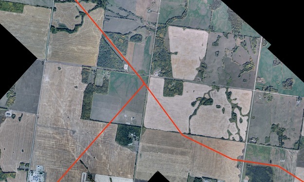
SAM completed Orthorectified Aerial Imagery for the US portion of Alliance Pipeline to support their Regulatory Compliance Update.
- Project Length: 888 miles running from near Sherwood, ND southeast to near Aux Sable, IL
- Coordinate Projection: Albers Equal Area NAD83 (set as survey-foot). CM=90, Latitude of Origin = 45, STD Parallel 1 = 45.5, STD Parallel 2 = 29.5
- Imagery Format: Color – Conventional film
- Pixel Resolution: 1.0 ft
- Photo Scale : 1:24,000 (1″=2000′)
- Imagery Width : 12,600 ft. corridor
- Flight Altitude : 12,000 ft. above mean terrain (AMT)
- Approx. # of Flight Lines: 39
- Approx. # of Exporsures : 722
- Digital Scanning : 12.5 microns (2032 dpi)


